Start with the rock
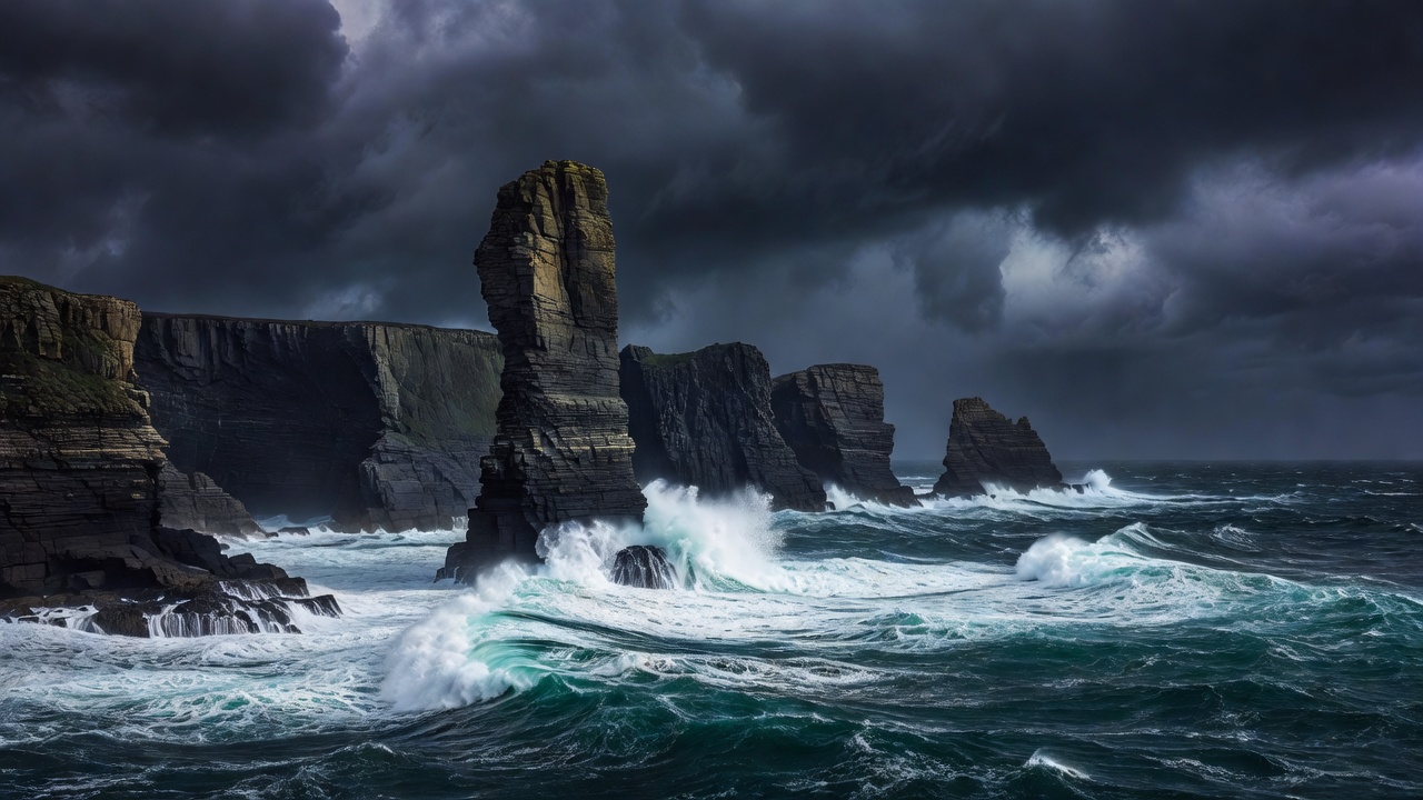
Coastal scenery is mostly geology made visible. Hard rock such as granite and basalt resists the sea and forms headlands; softer chalk, clay and sandstone retreat faster, producing bays, arches and collapsing cliffs. Where the sea exploits joints and faults, caves widen into arches, arches fall into stacks, and stacks eventually become stumps covered at high tide. Recognising which stage you are looking at tells you how actively the coast is changing, and how much you should trust the ground near its edge.
Cliff coasts and sea stacks
Sliabh Liag in County Donegal rises roughly 600 metres above the Atlantic, among the highest sea cliffs in Europe. In Orkney, the Old Man of Hoy stands about 137 metres tall, a sandstone stack first climbed in 1966 and expected one day to fall. On the Normandy coast at Étretat, chalk has been cut into arches and a needle that draw large crowds in summer.
Cliffs are frequently undercut by waves and weakened by rain and frost. Grass can overhang empty air. Stay on established paths, keep at least several metres from any edge, and be especially cautious in wind, which gusts unpredictably at cliff tops. Rockfall is a real risk on beaches below cliffs, too.
Tidal coasts and causeways
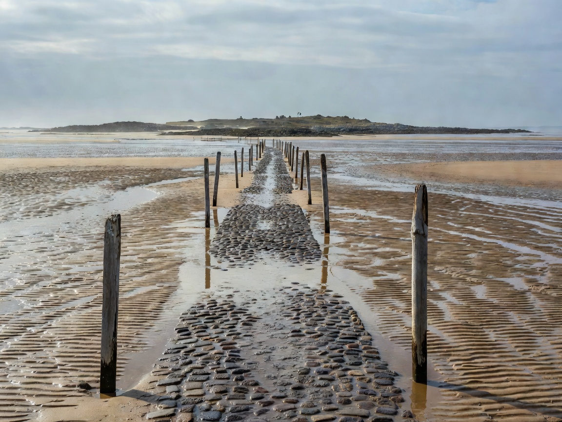
Some islands are islands only part of the day. Lindisfarne in Northumberland is reached by a causeway that floods twice daily; safe crossing times are published and vehicles are still stranded every year. Mont-Saint-Michel in Normandy sits in a bay with one of Europe's largest tidal ranges, where the water returns fast across the flats.
Always use official tide tables and crossing times, not a phone app's general forecast.
Spits, bars and tombolos
Where waves move sand along the shore, they build spits and bars. A tombolo is a sand or shingle bar that joins an island to land. St Ninian's Isle in Shetland is linked to the mainland by one of the finest active sand tombolos in Britain, walkable in most conditions but shaped by every winter storm. These features are fragile: dune grasses hold them together, so stay on paths across the dunes.
Volcanic shores
Volcanic coasts are young and abrupt. The Giant's Causeway in Northern Ireland exposes around 40,000 interlocking basalt columns formed as lava cooled; it became a World Heritage Site in 1986. In Iceland's Westman Islands, the 1973 eruption on Heimaey added new land to the island, and nearby Surtsey, which rose from the sea from 1963, is closed to all but scientists so that natural colonisation can be studied.
Black sand beaches on volcanic coasts often shelve steeply into deep water, producing powerful waves and backwash that can knock people over and drag them in. Never turn your back on the sea there.
Hornstrandir: a roadless coast
In Iceland's Westfjords, the Hornstrandir Nature Reserve has no roads and no permanent residents. Its farms were abandoned by the middle of the twentieth century and the area became a reserve in 1975. In summer, boats run from Ísafjörður and Bolungarvík, dropping walkers at bays they must later return to on schedule. Arctic foxes are protected here and relatively unafraid of people. Walkers need full camping kit, navigation skills and contingency food: there is no shop and limited phone coverage.
Coastal deserts and fog
Namibia's Skeleton Coast shows that dramatic does not always mean green. The cold Benguela Current produces dense fog over a desert shore scattered with shipwrecks, and Cape Cross hosts a large Cape fur seal colony. Access to parts of the coast is controlled by permit, and distances between fuel stops are long.